Customer Projects
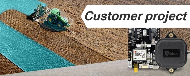
Using the ArduSimple Kit with AgOpenGPS for Lightbar Visual Guidance
Are you struggling with overlaps or missed areas during planting or spraying? These challenges are common in precision farming, but with the right tools, they
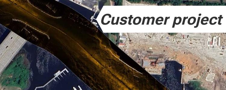
Exploring fish habitats and reefs with scan sonar and ZED-F9P RTK receiver
Exploring fish habitats and reefs with scan sonar and ZED-F9P RTK receiver Autonomous boat with RTK for hydrographic surveys RTK technology is continuously reshaping industries,
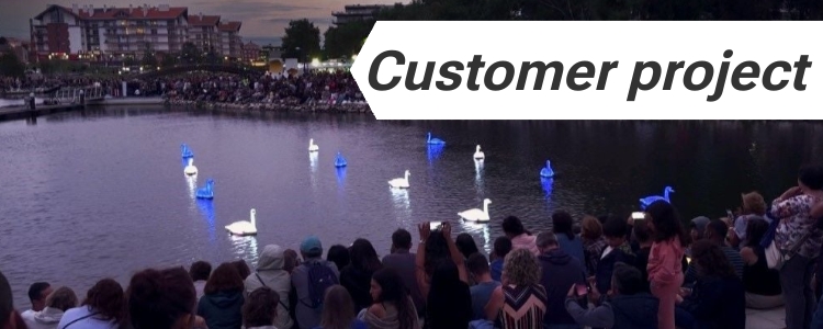
Transforming Electric Swans into Water Ballet Performers
Imagine trying to choreograph a group of robotic swans to perform a delicate ballet on water. That’s exactly what Loomaland, a studio known for blending
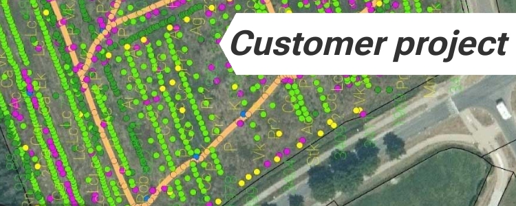
Precision design and monitoring of food forest crops with GNSS
Precision design and monitoring of food forest with GNSS What is a Food Forest and how GNSS can help? Food forests are biodiverse production systems
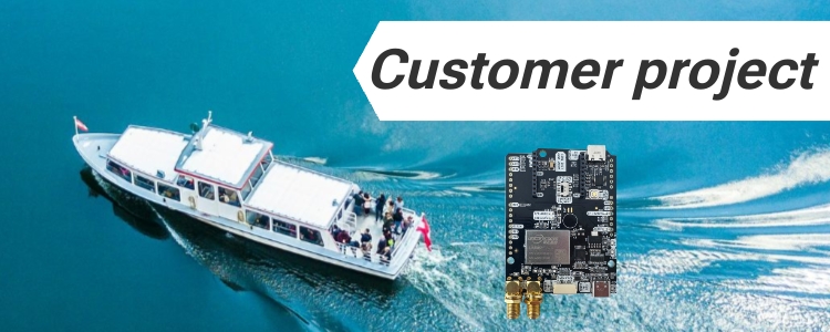
Accurate GNSS Compass and Antenna Pointing System for your boat
Accurate GNSS compass and antenna pointing system for your boat Have you been thinking about adding an precice navigation system to your boat but are
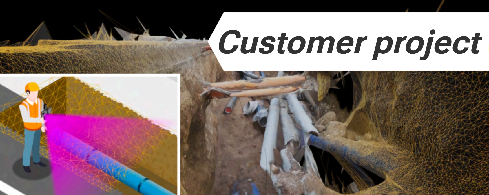
Create a digital map of underground utility pipelines with RTK
At Ardusimple, we pride ourselves on empowering our customers to harness the full potential of RTK technology in innovative ways. One such application is vividly
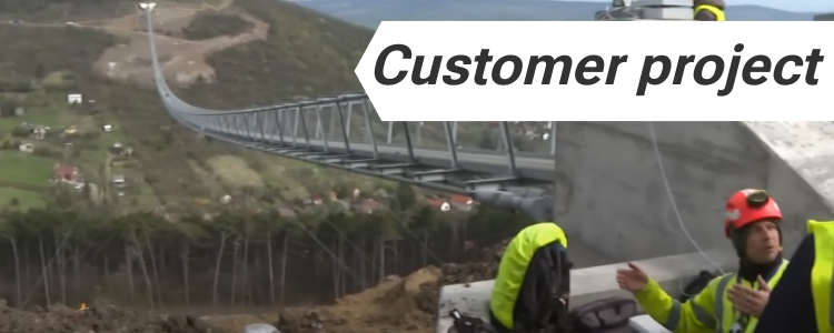
Movement monitoring of the world’s longest walking bridge with ArduSimple
In the civil engineering, safeguarding the structural integrity and safety of bridges is paramount. Real-Time Kinematic enables the detection and precise measurement of even the
Feature unlocked: use your LR/XLR radio as a repeater
LR and XLR radios used on base-rover setups require that their antennas are in line of sight (see each other), otherwise the transmission range is
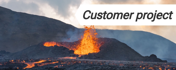
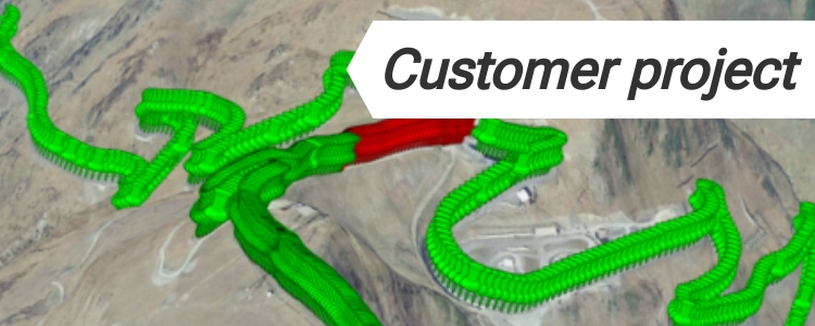
Volcano deformation monitoring with ArduSimple affordable GNSS/RTK
It has long been recognised that volcanoes and in particular its calderas deform as fluids migrate. The Rabaul Caldera in Papua Guinea is a type
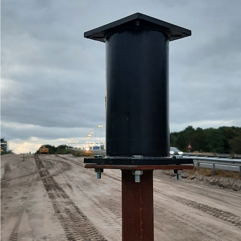
Measuring ground settlement before a construction work with centimeter precision
Before a road or other heavy construction is built, the ground needs to settle first. To do this, a heavy layer of sand is placed
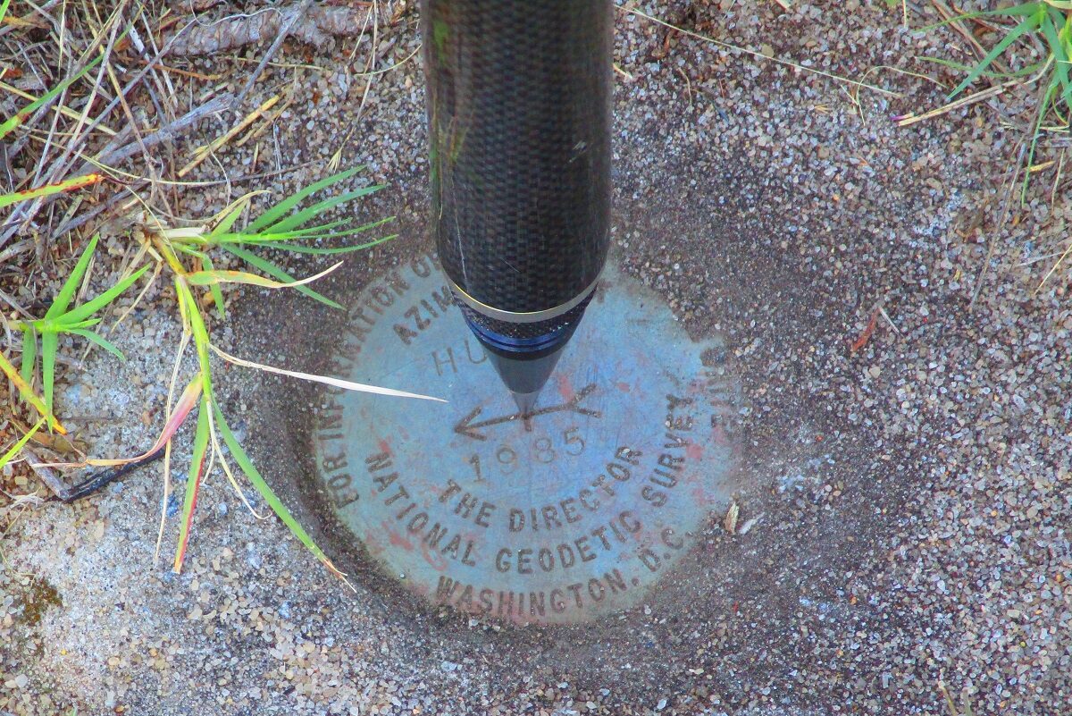
Field test evaluation of the Ardusimple simpleRTK2Blite (ZED-F9P) operating in RTK mode on the South Carolina Virtual Reference Network
In 2020, Professor Michael E. Hodgson, from the Department of Geography, University of South Carolina, Columbia, SC, USA completed a rigorous field test evaluation of
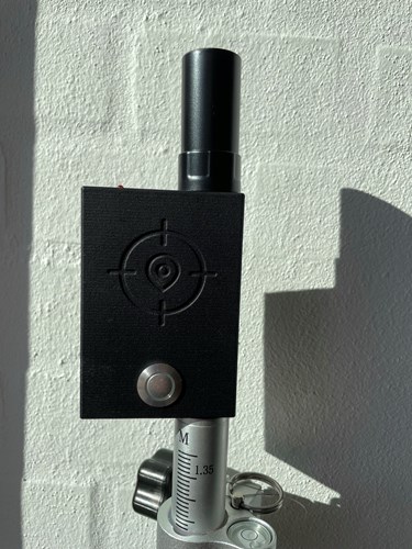
PocketLocator with GIS4Mobile app: Ultracompact RTK receiver for pole mount made in Denmark
Today we are presenting to you a customer product developed around simpleRTK2Blite: the ultracompact RTK receiver for pole mount including GIS application from GIS4Mobile. It
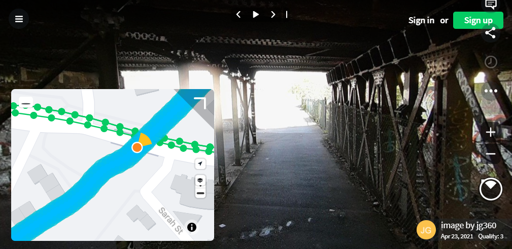
Collecting underground 360 imagery by bicycle with RTK+IMU simpleRTK2B-F9R
Today we are happy to share this customer project that makes use of u-blox ZED-F9R: GNSS RTK and 6-axis IMU fused together to achieve centimeter-level
Using 3 ZED-F9P to track object’s (or camera’s) location and orientation
Dear followers, Today we want to share this cool project from Pasi Nuutinmäki where you can see one of the use cases of 3xZED-F9P version
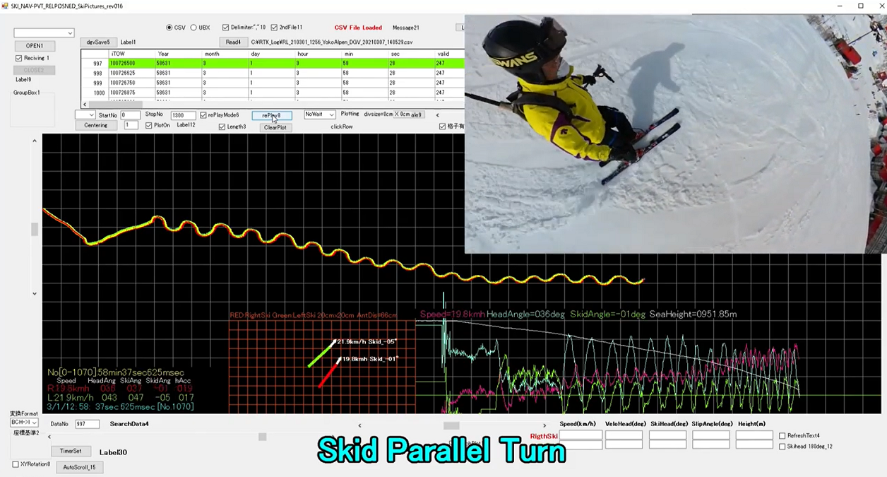
Ski turn analysis with RTK GPS
For the fans and professionals of alpine ski today we want to share the project developed by K.Matsuhashi from Japan. Mr. Matsuhashi had problems to
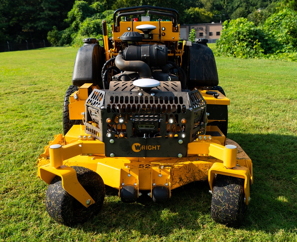
Aftermarket Autopilot for Professional Mowers
Today we want to share with you an interesting project, especially useful for commercial landscapers and any of us who have a lawn: an Aftermarket
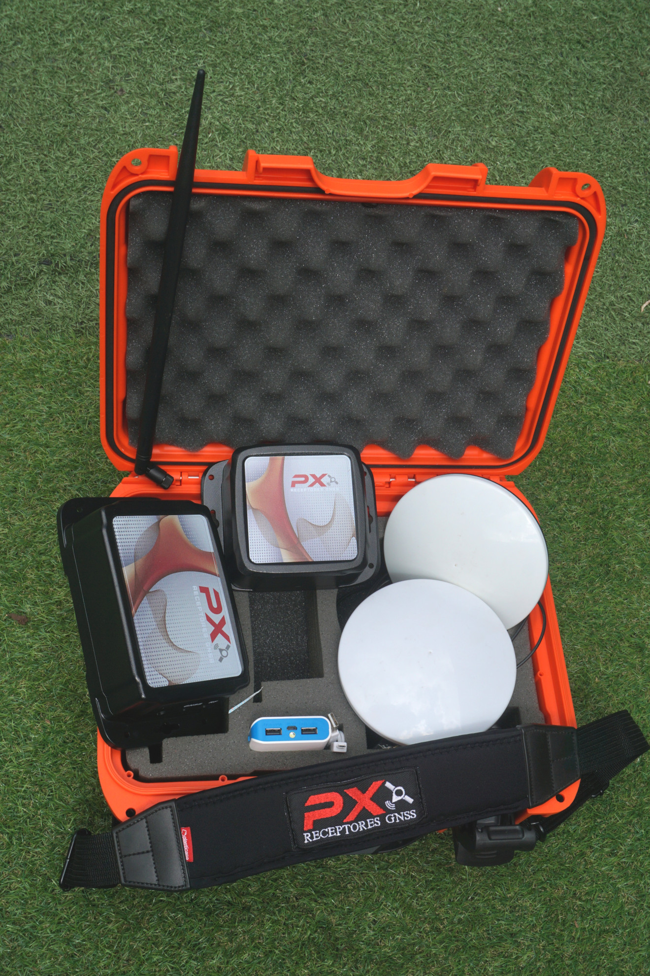
PXGNSS RTK surveyor kits in Costa Rica
Dear followers, today we want to share with you the business that our friends from PXGNSS in Costa Rica have developed around simpleRTK2B: Ready to
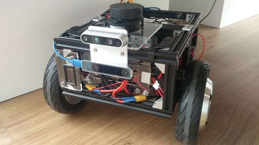
simpleRTK2B integration with ROS
Dear followers, For the ones who don’t know ROS, we quote the definition from their own website: ROS (Robot Operating System) provides libraries and tools to
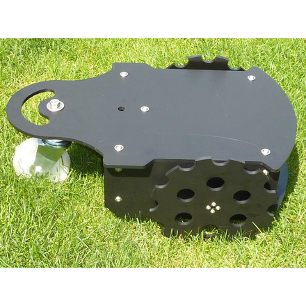
Ardumower, the Do-It-Yourself robot lawn mower
Dear followers, Today we wanted to share with you this project led by our customer Alexander, that will allow you to build your own lawn
 and
and 


