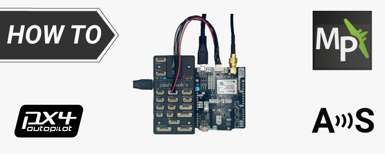
Enable 1-centimeter precision on your drone
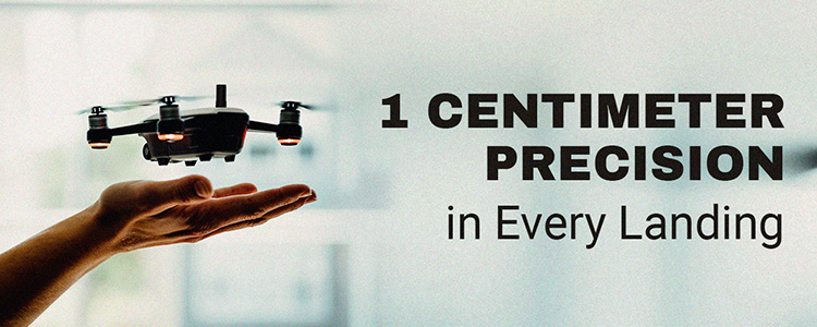

Not happy with the precision of your drone’s landing point?
Don’t manage to land on a moving platform?
ArduSimple is here to help!
We have prepared comprehensive tutorials for you to enable centimeter level accuracy of GPS position and precise heading when building a drone!
Get Started with Precise Positioning
If your project needs accurate GPS location, start with our basic tutorial How to configure simpleRTK2B – Basic Starter Kit and connect it to Ardupilot to get centimeter accurate GPS location.
Tutorials for precise location and heading
For projects requiring both precise location and heading, explore these tutorials:
In order to achieve centimeter level accuracy, learn how to send RTK Corrections to ArduPilot via Mission Planner, QGroundControl or MAVProxy:
Do you know the difference between terms such as heading, course, track, yaw? To find the answer check out our post How GPS can help you measure the real heading of your UAV.
 and
and 

