 and
and 
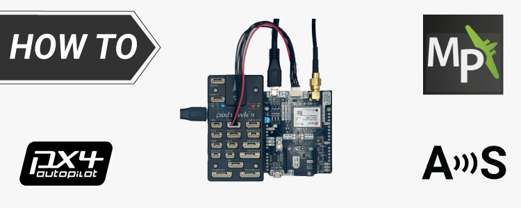
How to configure simpleRTK2B – Basic Starter Kit (ZED-F9P module) and connect it to Ardupilot to get centimeter accurate GPS location
We have created this tutorial for basic setup when you need to connect your RTK receiver powered by the ZED-F9P module to ArduPilot We will
How to install u-center on macOS and connect GNSS RTK receiver to it
The official u-center software is available only for Windows, but many users operate on macOS computers. This tutorial will guide you through the process of
How to generate RINEX files with simpleRTK3B Budget powered by Unicore module
RINEX files are used to store and exchange raw GNSS data for post-processing to achieve precise positioning and navigation. In this tutorial we will show
Get Free shipping on your entire order just by adding u-blox ANN-MB antenna!
Searching for a free shipping deal on ardusimple.com? Your search ends here! Just add an u-blox GNSS Multiband antenna ANN-MB-00 (IP67) to your order and

How to connect ArduSimple RTK kit to Skylark correction service to get precise GPS location?
This tutorial explains how to connect your RTK Handheld Surveyor Kit to Swift Navigation Skylark correction service. Skylark correction service offers RTK corrections to achieve
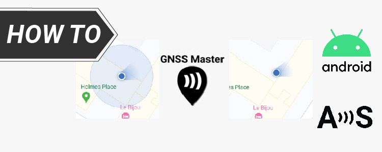
How to use centimeter GPS with any Android app (Mock location)
In this tutorial we will explain how to configure ArduSimple RTK receivers to be used as Mock location for Android smartphones/tablets in order to get

Create a digital map of underground utility pipelines with RTK
At Ardusimple, we pride ourselves on empowering our customers to harness the full potential of RTK technology in innovative ways. One such application is vividly

Survey professionally and be free from high costs
Enhance the precision of your survey and mapping tasks without going broke. Whether you’re just starting out or you’re a seasoned surveyor, our guide will

Get ready for precision farming
Are you looking to enhance your farming operations with precision agriculture technology? ArduSimple has made it incredibly easy and affordable to equip your tractor with
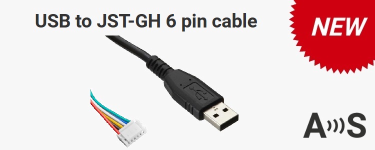
New product: USB to JST-GH 6 pin cable
Power and configure any JST-GH 6 pin device with your PC via serial port. Very useful to configure peripherals manually from the PC or get
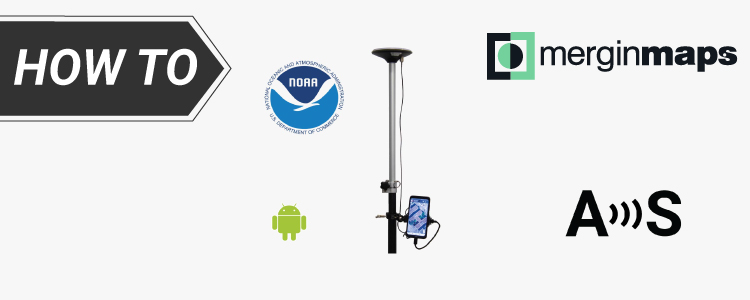
How to connect ArduSimple kit to Mergin Maps for centimeter-accurate mapping
Mergin Maps is a field data collection tool built on the free and open-source QGIS which allows you to collect, store and synchronize your data
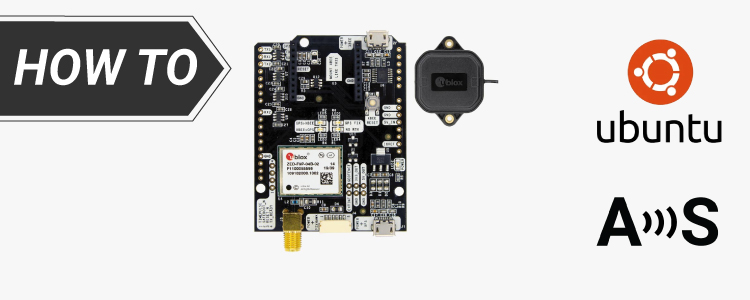
How to install u-center on Ubuntu and connect GNSS receiver to it
We’ve already detailed the process for connection and configuring u-blox GPS receivers using u-center on Windows. Following requests from several customers curious about running u-center