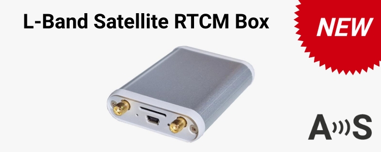
Today we are introducing the ArduSimple CANBus GNSS Master: connect your ArduSimple products or any sensor with serial port output with your CANBus lines. ...
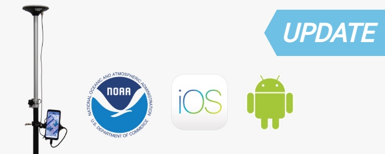
Today we are happy to announce a product update especially interesting for our iOS users. Starting today the ArduSimple RTK Calibrated Surveyor Kit has ...
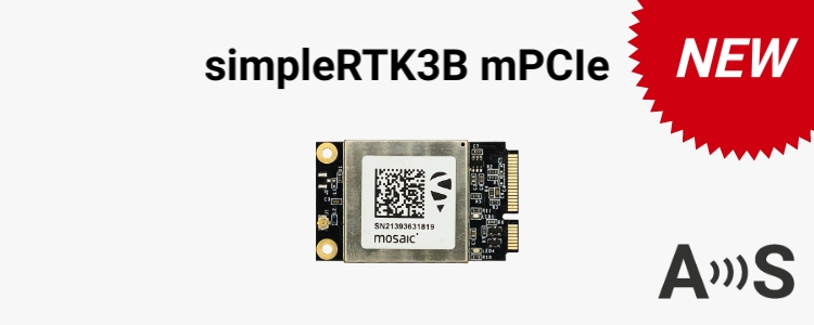
Bring low cost high precision RTK GNSS to your Mini PCI Express platforms with this board fully compatible with MiniPCIe full-size sockets. With Mosaic-X5 and ...
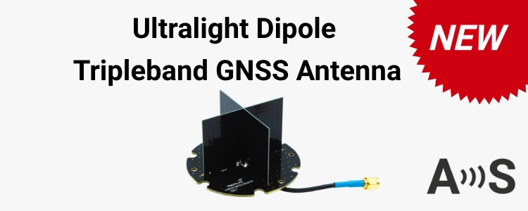
Welcome the new addition to the simpleANT3B antenna series portfolio: Ultralight Dipole Tripleband GNSS antenna for GNSS/RTK applications. Supporting L1/L2/L5 bands, it’s the perfect ...
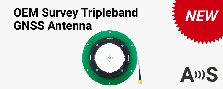
Welcome the new addition to the simpleANT3B antenna series portfolio: OEM Survey Tripleband GNSS antenna for survey grade RTK applications. Supporting with high gain ...


 and
and  How to get a quotation