and
and 
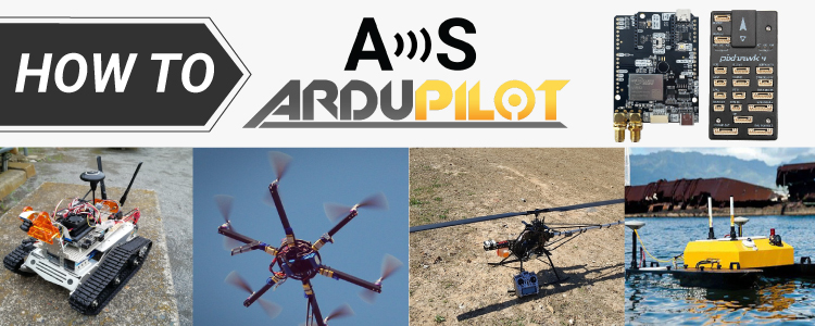
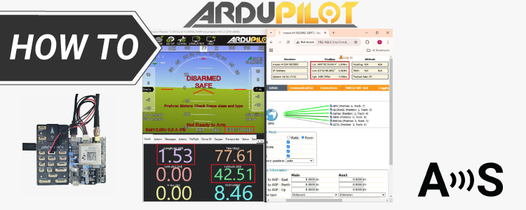
How to get started with RTK on ArduPilot (and dual antenna heading too)
Get started with Ardupilot If you’re developing a project related to unmanned vehicles like drones (UAVs), rovers, boats, or even submarines, enabling autonomous navigation requires integrating autopilot with a precise GNSS/RTK location system. While the integration process can be challenging, we have prepared this article to help you to get started. What are ArduPilot, Flight […]
How to get started with RTK on ArduPilot (and dual antenna heading too) Read More »