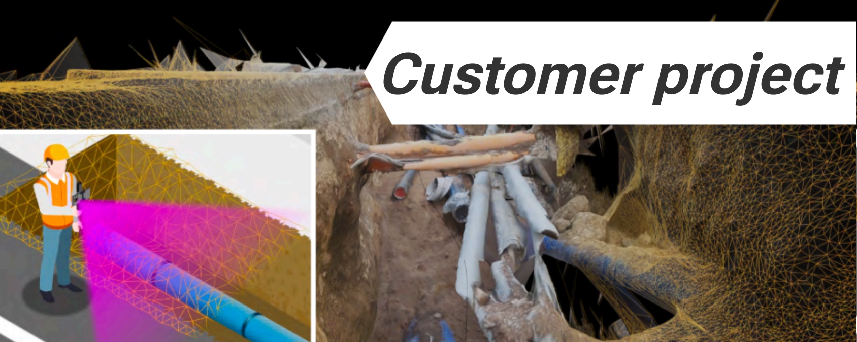
Create a digital map of underground utility pipelines with RTK
At Ardusimple, we pride ourselves on empowering our customers to harness the full potential of RTK technology in innovative ways. One such application is vividly illustrated through our collaboration with a customer who has seamlessly integrated our RTK Handheld Surveyor Kit with Arcoda Next software, to revolutionize the way network infrastructure is digitized and managed.
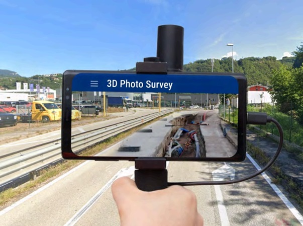
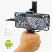
Arcoda Next’s 3D Photo Survey module transforms ordinary smartphones into powerful tools for creating high-precision, georeferenced 3D models of network infrastructure. By simply pairing the smartphone with RTK Handheld Surveyor Kit, users can capture and process images directly on-site.
How 3D Photo Survey works?
The operator goes to the location that needs to be scanned and runs the app. It connects with the GPS receiver via Bluetooth, from which it obtains the positioning signal. When the 3D Photo Survey module is launched, the app activates the camera, and the operator starts capturing images from the app (e.g., a road excavation for laying underground utilities). Once captured, the images of the scanned area, combined with the camera pose data and precision coordinates obtained through the GPS receiver, will be sent to the server and processed. The processing is concluded with the production of a precise, realistic, georeferenced and oriented 3D model.
What are the practical use cases?
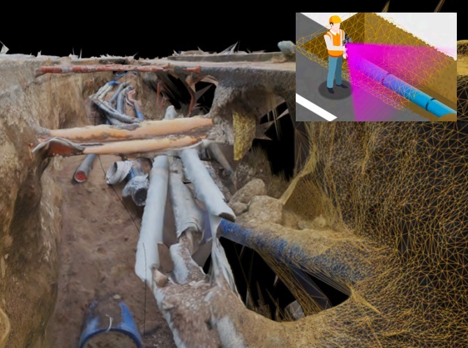
Expeditious excavation survey
Thanks to the smartphone equipped with the precision GPS, the 3D model of the excavation and underground utilities can be easily obtained. It will be enough to “scan” the excavation with the smartphone, RTK Handheld Surveyor Kit and 3D Photo Survey. The server will process the images obtained by the smartphone, and will produce a realistic, precise, georeferenced and oriented three-dimensional model showing the underground utilities. The resulting model will be made available to the company’s GIS.
Underground utilities mapping
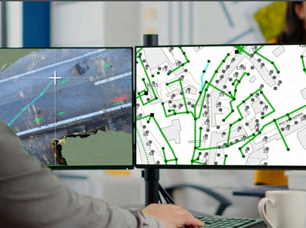
Once technicians have surveyed the underground utilities and marked the traces with spray, the area of interest can be “scanned” with a smartphone. On the basis of this scan, the system will automatically generate the 3D model of the road surface and also the related very high detail “orthophotos” showing the traces made with the spray. The orthophotos thus processed will be available in the Arcoda Work web portal, and can be exploited as a visual reference to accurately map the networks.
On site inspections in augmented reality
With 3D Photo Survey, using the smartphone, holograms of network infrastructure are superimposed in augmented reality on the road surface, with centimeter accuracy. When the excavation is closed, during surveys, excavations and interventions, on-site personnel will be able to relocalise in augmented reality, with accuracy, the underground utilities, and intervene at a glance, reducing the risk of damage to people and infrastructure.
Interested in integration of RTK in your project?
For industries ranging from construction to utilities management, the combination of RTK Handheld Surveyor Kit with innovative software like Arcoda Next offers a solution that enhances operational capabilities. By adopting ArduSimple kits, many companies can innovate and optimize their processes.
We invite businesses looking to leverage RTK technology in their projects to explore how Ardusimple’s solutions can be integrated to meet their needs. Contact us to learn more about how we can assist in the digital transformation of your operations.
1. Our engineering team will contact you to solve any questions
2. We will keep you updated about promotions and new product releases
3.You will only hear from us when we have important news, we won’t spam your email
 and
and 
 Made in EuropeProfessional