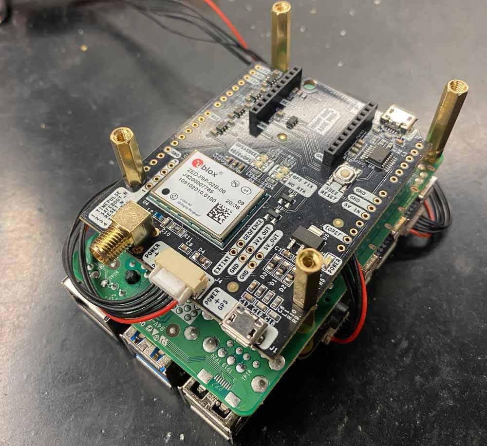
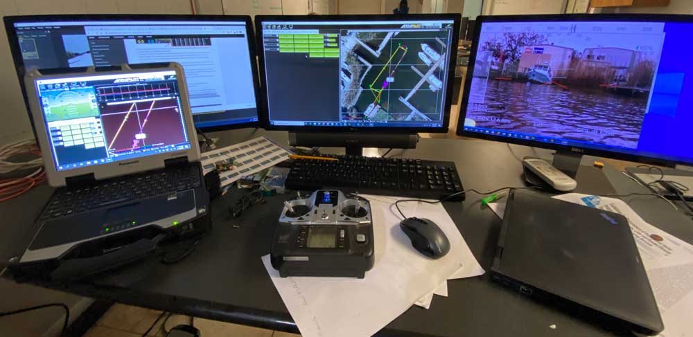
The Raspberry Pi server automatically runs STR2STR to get RTK corrections from a local NTRIP service. The system achieves RTK Fix within minutes, ensuring high-accuracy positioning. The system also runs u-center on a PC to remotely modify the settings of the RTK receiver on the fly if needed.
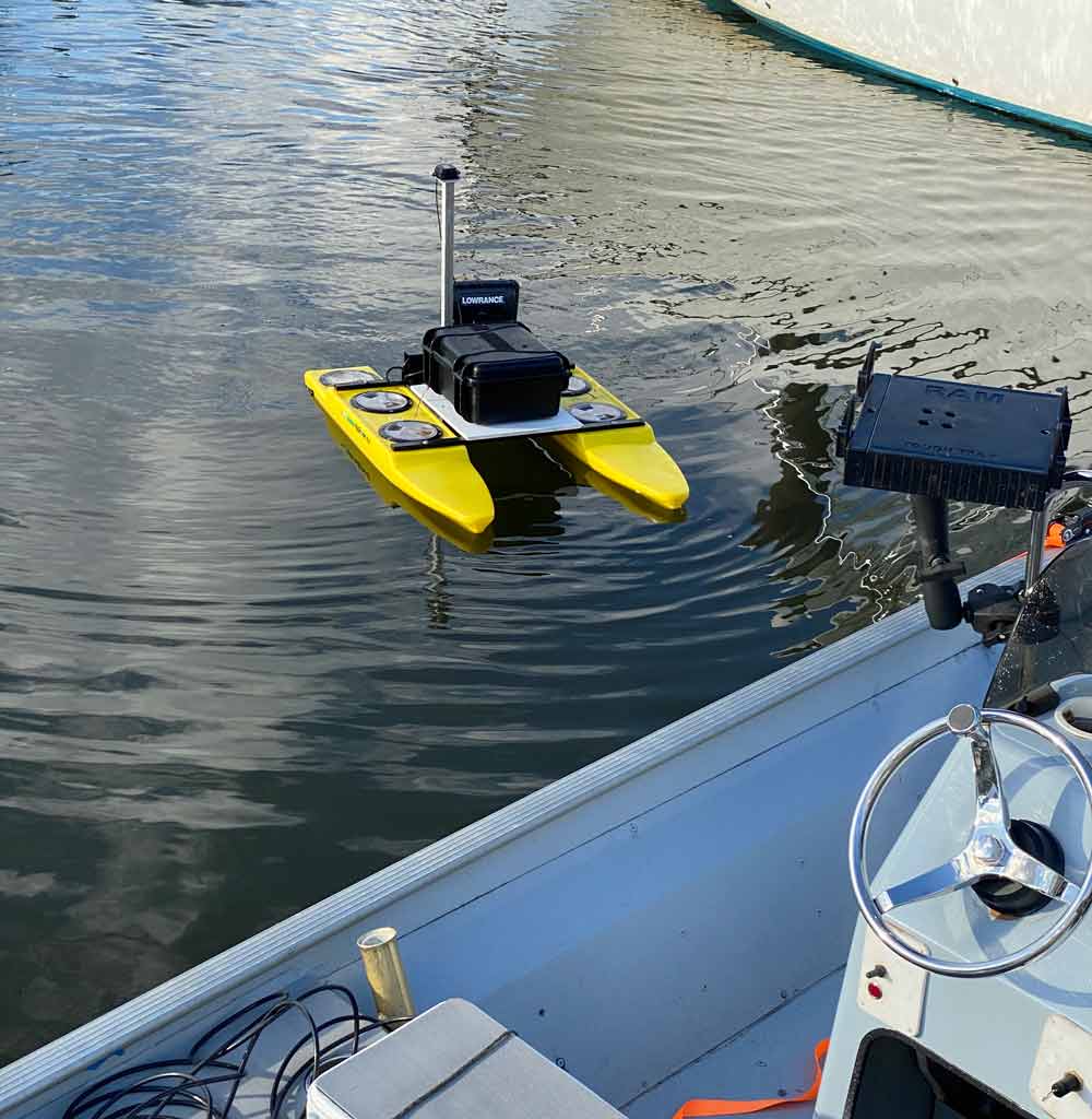
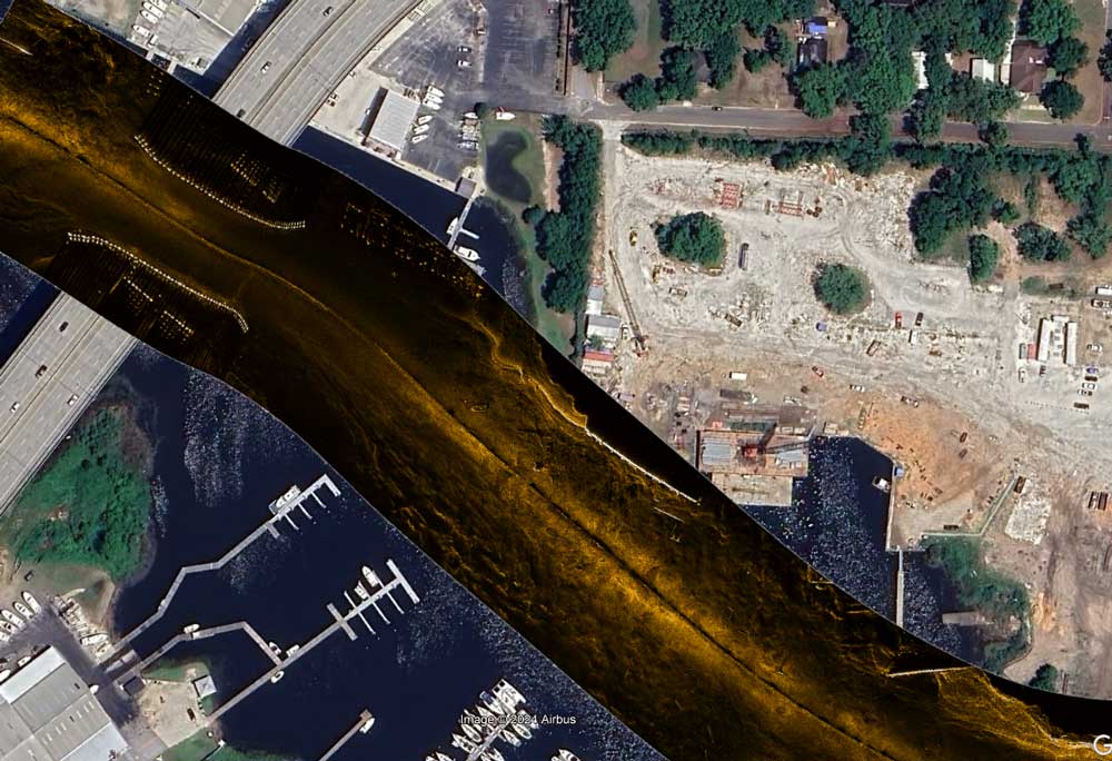
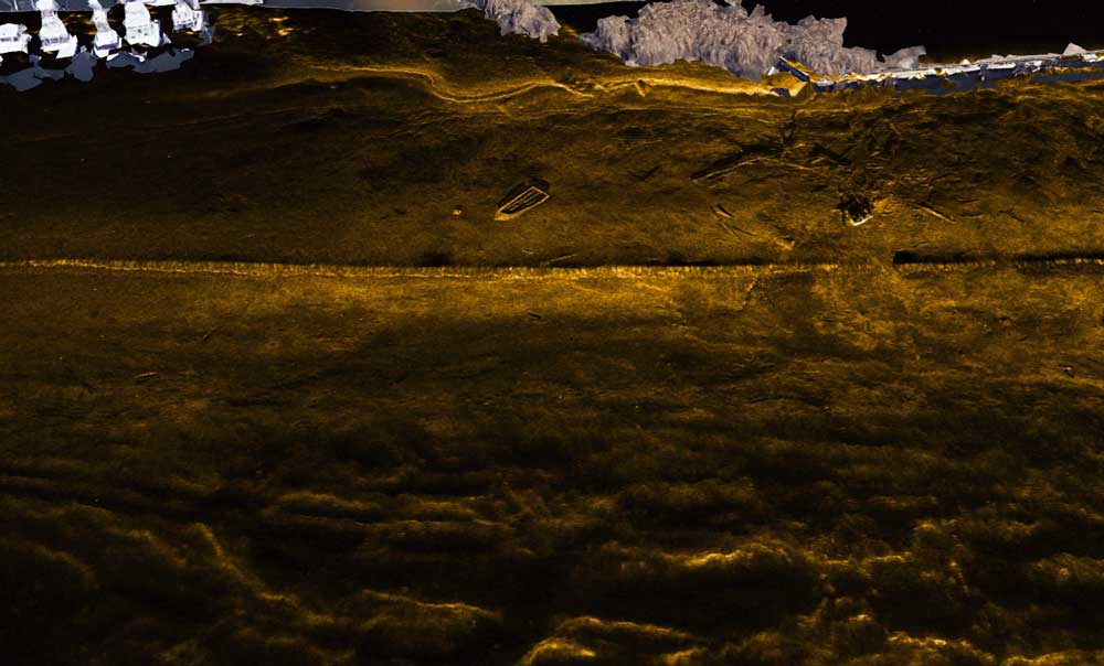
SonarWiz software processes sonar data in real-time, capturing detailed images of underwater environments. The centimeter accurate simpleRTK2B Budget RTK receiver allows to draw survey track lines very close to docks, boats and other obstructions and be confident that the autonomous boat wouldn’t run into anything. It also allowed us to use this boat to collect professional quality sonar survey data which a licensed surveyor can approve.
 and
and 

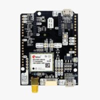 Made in EuropeRTK2B Boards