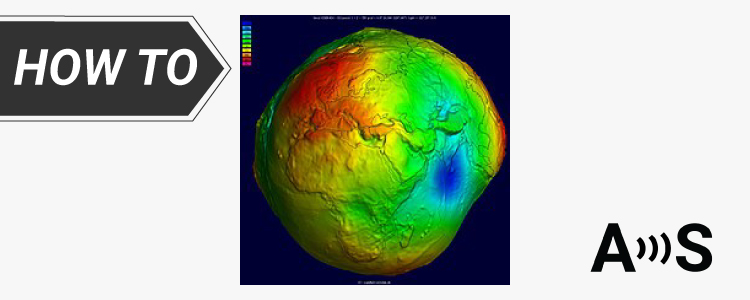
Geoid model for your country to measure orthometric height


We’ve explained the different types of heights in the tutorial Ellipsoidal, Orthometric, and Geoid heights, and what they mean for your work.
When taking measurements, you might find that the positional information appears accurate, but the height may not be correct. This error could arise from forgetting to input the height of your pole. Alternatively, your receiver might be outputting ellipsoidal height by default, while you are in need of geoid height. In such situations, employing a conversion file becomes necessary.
Even though geoid models are designed on a global scale, they are usually used for specific places, like your own country or region.
We’ve collected geoid data for different countries for you. Check out the geoid for your area and get started on your project with better accuracy!
You can also use the Global file (EGM2008), if you can’t file the high resolution file in your region.
Once you found an appropriate geoid model, check out how to use a custom geoid for high quality orthometric height measurements with your Android device.
| Country | link |
|---|---|
| Global | Link |
| Andorra | Link |
| Australia | Link |
| Austria | Link |
| Belgium | Link |
| Canada | Link |
| China | Link |
| Czech Republic (Czechia) | Link |
| Denmark | Link |
| Finland | Link |
| France | Link |
| Germany | Link |
| Greece | File |
| Hungary | File |
| India | Link |
| Ireland | Link |
| Israel | File |
| Italy | File |
| Japan | Link |
| Mexico | Link |
| Netherlands | File |
| Norway | Link |
| Poland | Link |
| Portugal | Link |
| Romania | Link |
| South Korea | Link |
| Spain | Link |
| Sweden | Link |
| Switzerland | Link |
| Taiwan | Link |
| Turkey | Link |
| United Kingdom (UK) | Link |
| United States (USA) | Link |
 and
and 


