Precision design and monitoring of food forest crops with GNSS

Precision design and monitoring of food forest with GNSS
What is a Food Forest and how GNSS can help?
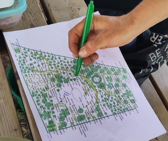
Food forests are biodiverse production systems designed to work like natural forests, with 30–80 types of crops grown together in a planned layout. Managing these complex systems needs precision, and that’s where GNSS technology steps in.
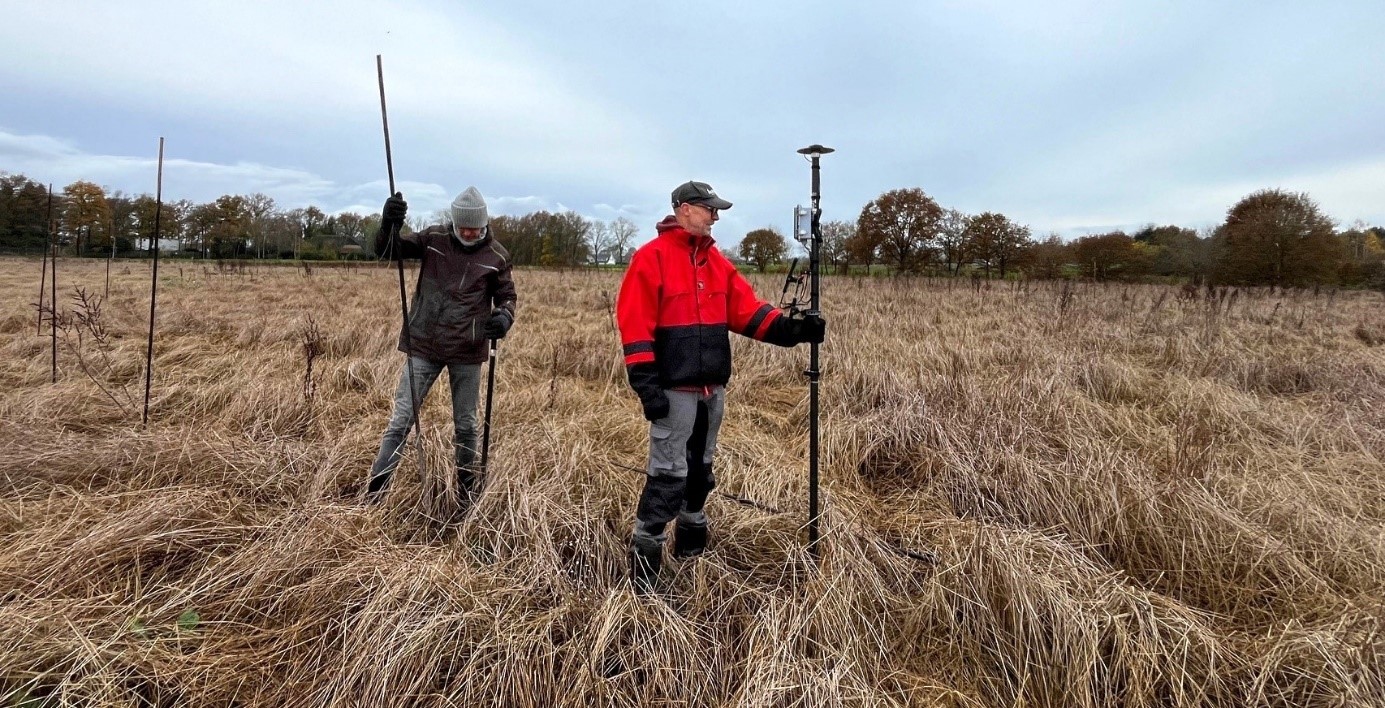
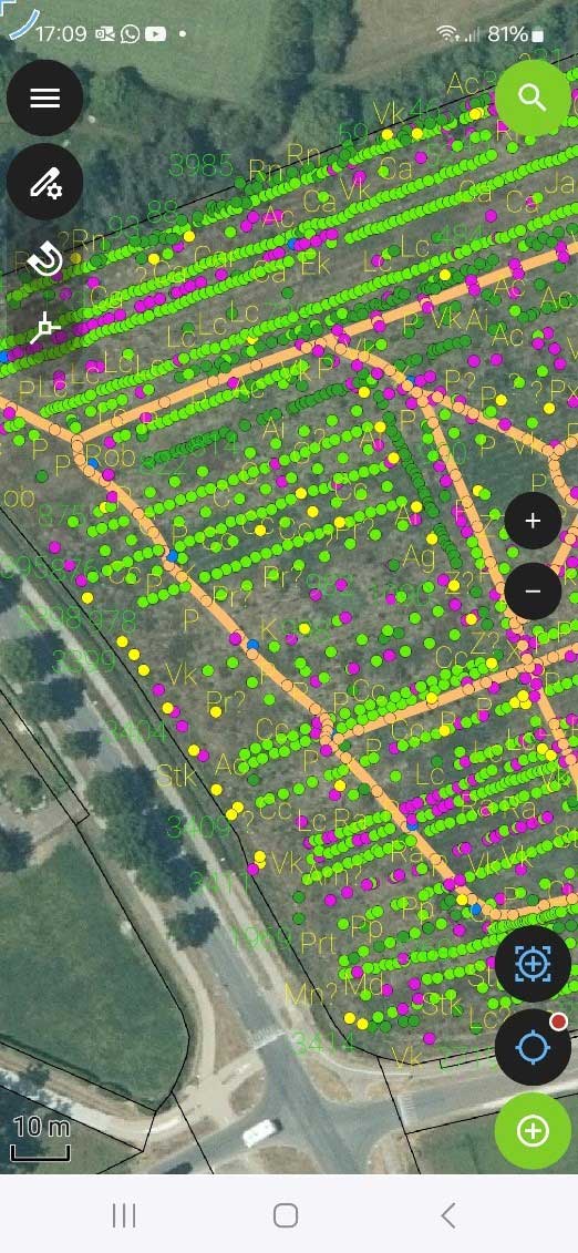
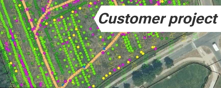
Today we introduce how GNSS/RTK technology is transforming food forests. Our customer from the Netherlands uses simpleRTK2B receivers with PointPerfect correction service to precisely map and stake the crops. With tools like QField and QGIS, they track the location and growth of every plant, shrub, and tree. This technology helps to manage the food forests more effectively, improving data accuracy and offering insights into plant health and growth patterns.
Food forest design and crop registration using GNSS/RTK
simpleRTK2B (ZED-F9P) receivers for mapping crops with centimeter accuracy
- Marking precise planting locations for shrubs and trees.
- Registering individual crops, creating a detailed geolocated database.
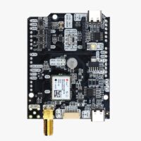
simpleGNSS Pro (NEO-F10) receiver for volunteer work
Managing large projects, such as 10–20 hectares with 15,000–20,000 shrubs and trees, can be challenging for volunteers unfamiliar with the terrain. To address this, the team is using a cheaper receiver simpleGNSS Pro with NEO-F10 module paired with QField on smartphones.
This receiver provide submeter accuracy of GPS position without need of RTK corrections ans is used for guiding volunteers to specific crops during care and maintenance tasks.
ArduSimple: Your Partner in Precision Agriculture
Ready to take your food forest or farm design to the next level? Explore our range of GNSS products!
-
Sale!
 Made in EuropeProfessional
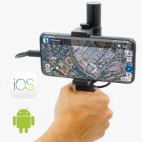
RTK Handheld Surveyor Kit
407,00€Original price was: 407,00€.399,00€Current price is: 399,00€. -
GNSS Boards
simpleGNSS Pro
From 50,00€ This product has multiple variants. The options may be chosen on the product page
 and
and 

