RTK Applications: Research and Development
Introduction to R&D use cases
• Are you a member of Science and Engineering program and you are going to develop something that requires outdoor high precise position?
• Are you a student or a doctoral candidate or a lab researcher? You can contact us to have advice and support while choosing ArduSimple products or while integration it in your project, because we provide free basic technical support for every customer.
Learn how other people already did a research thanks to centimeter RTK technology in the cases described below.
Alpine Ski Racing
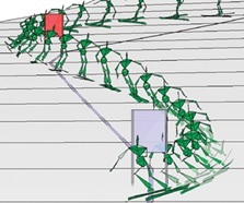
Competitive athletes win or lose races by fractions of seconds. In the sport of alpine ski racing, precise data of the center of mass (CoM) position, speed and acceleration are indispensable for the purposes of performance analysis and injury prevention.
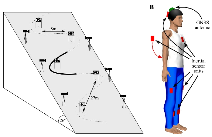
The study examines a novel system involving a GNSS RTK that returns a reference trajectory through the use of a suit, imbedded with inertial sensors, to reveal subject segment motion.
The aims were: to measure and enhance performance, particularly in a sport like skiing that involves speed, distance and timing, precise knowledge of rate of descent, lateral accelerations, and gate crossing times is critical to analyzing strengths and weaknesses. For the fans and professionals of alpine ski today we want to share the project developed by K.Matsuhashi from Japan.
Or you need to provide guidance to the blind skier? Or runner? It is possible for visually impaired people to navigate the outdoor world, independently. Learn in 5-min about GNSS RTK technology that made it possible.
Any other sport? Check ArduSimple Starter kits or just contact us and we will advise you a right solution.
Crash Tests
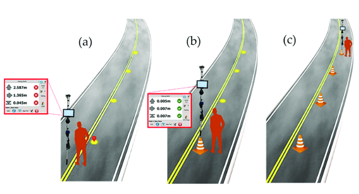
There are many car tests regulated by European and international standards and carried out on tracks to assess vehicle performance. The test preparation phase usually consists of placing road cones on the track with a specific configuration defined by the considered standard; this phase is performed by human operators using imprecise and slow methods. With the help of ArduSimple Professional kits it is possible quickly and precisely locate the on-track points on which to position the road cones by following the graphical instructions on your Android or iOS device. Learn more How to use Ardusimple products with Android smartphones/tablets.
Coastal Terrain Monitoring
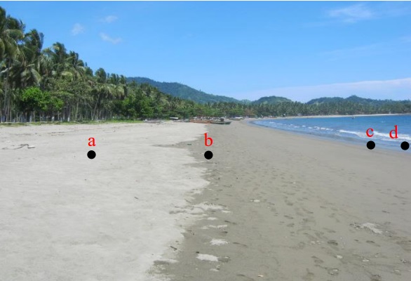
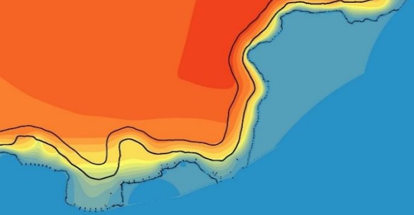
If you engaged in coastal and marine management or inland and marine spatial planning, you can use GNSS RTK technology to determine a coastline form between the land and the ocean which is affected by the tides. With the help of RTK Base-Rover Calibrated Surveyor Kit researches generated coordinates and elevation and use tides values as reference datum. After the above, Digital Elevation Model generated from those points are combined with bathymetry and land elevation data resulting three types of coastlines, namely the lowest, highest and average tides at sea level.
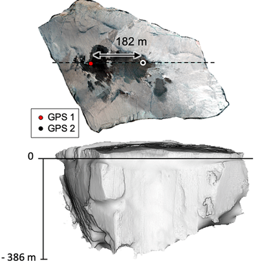
Are you engaged in coastal morphodynamics monitoring? You can do coastal cliff monitoring with the help of RTK GNSS-Assisted Terrestrial Photogrammetry method, that requires a simple frame that mechanically connects a RTK GNSS antenna to the camera. The system is low cost, easy to transport, offers high autonomy and enables saving time during acquisition and data processing. Check our tutorial How to Export your survey work from your Android device to QGIS and AutoCAD.
Earth Movement
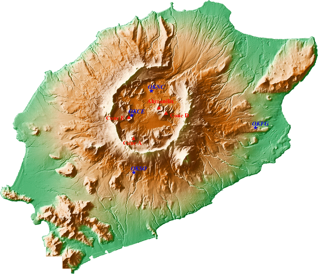
GNSS RTK is frequently used to measure many types of geophysical phenomena, such as the movement of tectonic plates of just a few millimeters per year, volcano inflation and deflation, and smaller-scale phenomena such as landslides.
Seismometers are much more sensitive to movement, but cannot be relied upon to accurately estimate the magnitude of very large earthquakes because their measurements can literally go ‘off the scale’. In contrast, GNSS receivers do not suffer from this problem, although they are not as sensitive. The two technologies therefore complement each other well.
Do you need to find a permanent displacement of the ground of a few millimeters?
Do you want to measure displacement in three dimensions, but only at specific points on the ground where the receivers are located?
Do you deal with measuring the rate at which icebergs melt or scanning the surface of icebergs?
All these tasks can be solved with the help of ArduSimple. Visit our Shop!
Contact us to find a solution for your application.
Road Lighting Measurements
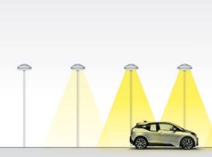
Street lighting should provide standard levels of illumination along the entire carriageway. But how to quickly and accurately determine the level of illumination of the road based on measurements in a certain grid of measurement points?
GNSS RTK made possible to develop a system that can be used to partially automate road lighting measurements and increase their versatility, made it possible to unambiguously attribute the measurement results to post-measurement fields. Based on the collected measurement data using terrain maps, it is possible to determine in detail the illumination parameters on the surveyed road sections. The simpleRTK2B SBC Development kit has the most advanced interfaces, including CANBUS. Learn more in simpleRTK2B-SBC hookup guide.
Your R&D project?
Are you in an industry not listed above and you are not sure if this is the right technology for you? Just contact us, we always answer.
 and
and 

